Knowing that a digital version of your city is already existing in a server room that most of us will never see gives you a strange sense of comfort. Not in a symbolic sense. Block by block, pipe by pipe, traffic light by traffic light, literally. These digital twins are subtly changing how cities choose what to construct, what to repair, and what to be afraid of.
The concept had nothing to do with urban planning. When engineers needed a way to model spacecraft systems without endangering the real hardware, NASA developed it in the late 1960s. They would be aware before it failed in orbit if something went wrong in the twin. The same reasoning was applied decades later, from a bus-sized spacecraft to entire metropolitan areas with millions of inhabitants.
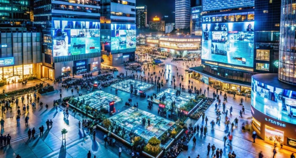
For good reason, Singapore is typically the first example that people look to. Virtual Singapore maps the entire city, including subterranean utilities that most locals are unaware even exist. It serves as a common point of reference for government agencies, replacing a dozen contradictory spreadsheets with a single source of truth. Planners can test how a new building’s shadow affects surrounding streets or model heat buildup before pouring a single foundation, making it perhaps more useful even though it’s not as flashy as a video game.
In actuality, the whole point is that predictive piece. The Urban Observatory in Newcastle uses traffic camera feeds and air quality data to create a real-time dashboard that shows how the city is actually acting rather than how planners had anticipated. Similar modeling is used by CReDo, a UK case study, to predict how flooding might affect energy infrastructure. This type of cascading failure is almost impossible to imagine until you’ve seen it occur in simulation. Seeing a catastrophe happen safely and ahead of time on a screen is almost unsettling.
However, not all of the attempts have been successful. The 2021 collapse of Sidewalk Labs’ waterfront project in Toronto has become somewhat of a cautionary tale in this industry. The issue wasn’t really with the technology. Residents felt that information about their lives was being gathered without much control over how, why, or who would benefit from it. It’s difficult not to interpret that as a cautionary tale ingrained in the entire idea: a digital twin constructed without the consent of its citizens is nothing more than costly surveillance with improved visuals.
It appears that some cities have learned that lesson. Instead of responding to a final product, locals in Herrenberg, Germany, contributed to the creation of the digital twin. Before bulldozers arrive, Gothenburg has used its virtual model to solicit feedback on large-scale redevelopment. There’s a feeling that the most resilient digital twins won’t be the most technologically sophisticated ones, but rather the ones that people genuinely trust enough to use.
Less is known about what will happen next. In order to transform the twin into something more akin to a two-way dialogue than a one-way surveillance tool, researchers are testing augmented reality apps that allow regular people to directly feed observations into a city’s model. With its city model, Helsinki has even ventured into a form of virtual tourism that seems almost lighthearted in contrast to the flood-prediction efforts taking place elsewhere.
It’s easy to view all of this as inevitable development, the obvious next step after traffic sensors and smart streetlights. Perhaps it is. However, no simulation can fully capture the messy, political, and intensely human nature of cities. Heat islands and pipes can be accurately modeled by the technology. That part still needs to be constructed the old-fashioned way, regardless of whether it can gain the trust of the people who walk those streets.