

In the northern British Columbian boreal forest, a fire that appeared confined at sundown has been doing what wildfires do when no one is looking, at around three in the morning on a nite when the wind has changed. Hours ago, the ground crews withdrew. The water bombers are grounded because they are too hazardous and dark to fly visually. There’s no waiting for the fire. After crossing a ridgeline and discovering dry fuel on the other side, it began moving in the direction of a fresh area of woodland that was not included in any containment strategy. The boundary had shifted by the time daybreak gives enough light for planes to evaluate the situation.
For as long as aerial firefighting has been practiced, Canadian wildfire management organizations have had to contend with this pre-dawn gap. It’s not a personnel or planning failure. Systems designed for human pilots, who require daylight and generally calm conditions to function safely, are structurally limited. The issue has gotten worse as fire seasons have gotten longer and more intense. In Canada, the 2023 season burnt around 18 million hectares, which is almost twice the previous record. Since then, the seasons have persisted at a rate that has put a pressure on every aspect of the response system. The overnight hours have to be changed in some way.
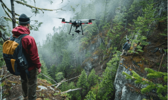
The technology being used to alter them is autonomous thermal-sensing drones. In theory, the strategy is simple: UAVs with infrared and thermal imaging sensors may operate in smoke, at nite, and in areas that would be dangerous for manned aircraft. This allows them to continuously monitor active fire perimeters without endangering human pilots. The thermal sensors sense heat, which is produced in large quantities by a wildfire, thus they don’t require visible light. The active front, the smoldering interior, and the subsurface hotspots beneath ash that appear extinguished from the air but are still burning six inches below the surface are all vividly visible in thermal imaging of a fire that appears quiet and gloomy in a visual image.
The final point is more important than it may first appear. Re-ignition, or declared-out fires that rekindle days later from embers that survived beneath ash or inside the root systems of fallen trees, is one of the most enduring issues in wildfire suppression. Throughout a sizable burned region, thermal sensors are able to locate those hidden heat sources at a spatial resolution that no surface team could accomplish in a reasonable length of time. Instead of having ground teams walk every square meter of burned area in the hopes of catching something they might miss, an autonomous drone can systematically scan a segment of containment line and highlight specific hotspot locations that they can then precisely target.
The capacity transitions from detection to prediction at the AI layer on top of the thermal sensing. In order to provide incident commanders with decision-relevant information at a timeframe that truly permits a response, onboard models that process wind speed, terrain elevation, fuel moisture data, and current fire behavior can determine which parts of the perimeter are most likely to break out in the coming hours. Crews have adequate time to pre-position resources if a drone finds a wind-facing slope with dry fuel next to an active perimeter two hours before conditions worsen. The next morning, a manned airplane observation does not.
Fire management organizations find the practical case of risk reduction for human firefighters to be just as persuasive as the operational capacity. One of the riskiest jobs in Canada is fighting wildfires, and the trend toward more intense fires has made it increasingly common for personnel to be required to work in hazardous conditions. When autonomous systems are tasked with surveillance and perimeter monitoring at the most hazardous times for human flight, a type of risk that humans wouldn’t have to bear if the technology could manage it effectively is eliminated.
